On This Page
The interactive tools presented on this page are designed to help inform users about various Livable Centers resources.
Understanding Livable Center’s Principles Toolbox
Livable Centers staff commissioned a series of graphics to help partner agencies and communities better understand the core elements of the Livable Centers program. These elements—traffic calming measures, multimodal transportation options, and placemaking features—are essential to creating vibrant, accessible Livable Centers and are consistently recommended across studies.
Local member governments are encouraged to use these graphics for their own initiatives. To request high resolution copies of the graphics, please contact Livable Centers staff.
Facilitating Housing Toolbox
Housing recommendations from past Livable Centers studies were evaluated and summarized into the Facilitating Housing Toolbox for ease of review and cross collaboration between past study partners and the region. Provided tools are being deployed daily, and this toolbox serves as a template to be matured as additional scenarios are identified through the Livable Centers Program. Housing tools identified through associated studies include: Enhance Local Policies, Increased Capacity, and Incentivize Housing Investment.
Promoting Economic Development Toolbox
Economic development recommendations from past Livable Centers studies and specific area plans for small towns were evaluated and summarized into the Economic Development Toolbox. The tools are specific strategies and opportunities for local planning and development organizations to facilitate private growth and development in their communities. The tools are organized into three primary categories—Policy & Programs, Incentives, and Capacity Increase—and each tool includes specific examples of implementation in a local context.
Interactive Planning Tool
The Livable Centers Planning Tool maps all study recommendations in an interactive, searchable format with a goal of connecting public and private investments to specific projects. The tool will be updated as new study recommendations are added and as projects are completed.
ACE: H-GAC's Activity-Connectivity Explorer
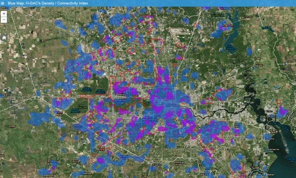
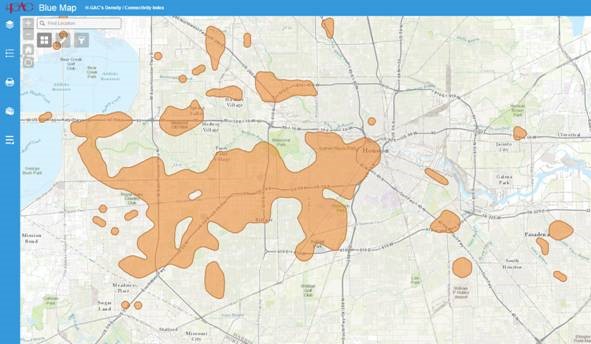
The Activity-Connectivity Explorer (Summary Viewer or Advanced Viewer) is a mapping application to identify existing activity center(s) based on density and connectivity index using a hexagonal grid system. There are six indicators to measure density and connectivity: Household, Household Population, Jobs, Activity Population, Job/Household Balance, and Number of Intersections. In the Activity-Connectivity Explorer tool, users can find Livable Centers study area boundaries and the types of recommendations made in each study.
Livable Centers Benefits Calculator
The Livable Centers Benefits Calculator is a sketch planning tool that demonstrates the potential benefits, as measured by mode shift, which could occur from the presence of centers in a region. The tool demonstrates the potential impact of centers of varying sizes and densities on mode share. Please view the user's guide.
Connectivity Tool
The Connectivity Tool is a sketch planning tool that helps answer the question of what level of road connectivity is needed at various levels of density in order to maintain transportation levels of services. The tool provides the user with the road spacing or land miles needed. A second application within the tool allows the user to analyze how much the addition of parallel collectors would reduce traffic on the arterial. The user’s guide for the tool also contains recommendations to improve development connectivity.
Fiscal Impact Model
The Fiscal Impact Model is a tool that allows local governments to estimate potential revenues and economic impact associated with creating Livable Centers. Inputs include tax rates and use types (residential, commercial, etc) and outputs potential fiscal revenues for the local government stemming from the inputted project. The user’s guide for the fiscal impact model also contains recommendations for overcoming fiscal implementation obstacles to creating centers.


