
On This Page
Summary and Goals
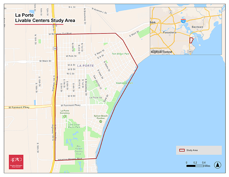
The City of La Porte, Texas—a coastal community located approximately 25 miles southeast of Downtown Houston—is experiencing significant commercial and residential growth. As of 2024, the city had a population of over 38,000 residents. City leaders seek to embrace this momentum in a way that adds long-term value and strengthens La Porte’s central core, which includes key corridors such as Broadway Street (a major north-south artery) and Main Street (an east-west thoroughfare).
This study will consolidate recommendations from previous planning efforts to create a comprehensive roadmap for developing La Porte’s central core into a well-connected, mixed-use district. The study will also address the need for improved and safe pedestrian and bicycle circulation, ensuring stronger links between area amenities and surrounding neighborhoods. The study will also identify gaps in first- and last-mile connectivity within the Harris County Transit System’s fixed-route bus service.
In addition, it will evaluate existing zoning and development codes to identify barriers to creating pedestrian-friendly streetscapes, encouraging infill development, supporting adaptive reuse, and preserving the area’s unique character. Finally, the study will explore opportunities to strengthen connections between downtown La Porte and Sylvan Beach, leveraging the impact of the planned renovations to enhance regional appeal.
Study Area Map
Click for a full size version of this map.