
On This Page
Study Summary and Goals
The Airline Study provides recommendations for the Airline Drive corridor in Harris County that focus on infrastructure improvements to support future development in the study area. Specifically, the study recommends:
- Linking isolated portions of the study area with new, multi-modal roads, including a bridge over Halls Bayou.
- Using infrastructure improvements, infill housing, and flood mitigation projects to ignite future commercial and residential development.
- Convert vacant rural land into active local parks that can mitigate flooding and bring new amenities to the area.
- Kickstart a branding campaign for the area that will support small businesses by attracting visitors from across the region.
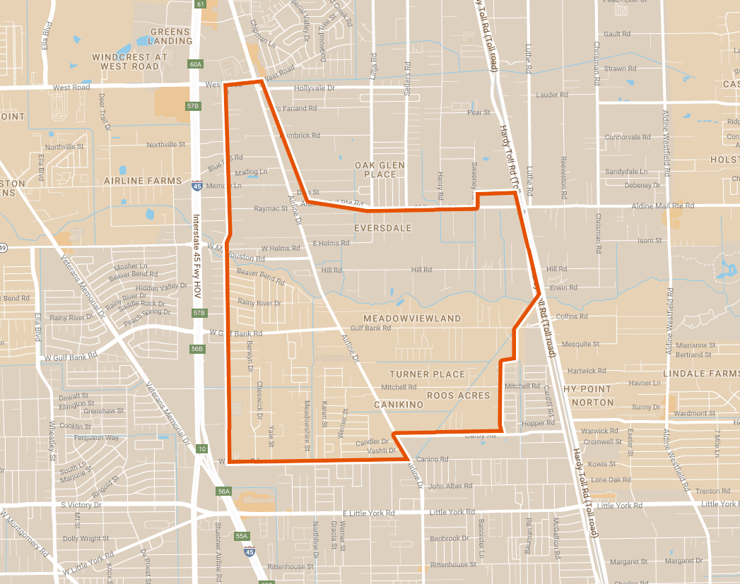
Study Area Map
The Airline Study area sits approximately eight miles north of downtown Houston and is roughly bound by West Road and Aldine Mail Route to the north, Canino Road and Carby Road to the south, Hardy Toll Road to the east, and Sweetwater Street to the west. The study area is home to a number of single family residences and is crossed by Halls Bayou.
Click for a full size version of this map.
Local Partners
Harris County Community Services Department
Airline Improvement District
Lead Consultant
SWA Group