
On This Page
Summary and Goals
The City of Magnolia, like many cities in the Houston-Galveston MSA, is situated in a fast-paced growth ring fueled by recent regional thoroughfare extensions. Magnolia’s charm lies in its small-town atmosphere, which increasingly conflicts with the demands of rapid growth. Its current transportation infrastructure is car-oriented and doesn’t adequately meet the needs of its residents. As it sits, Magnolia is a town with no options for walking or biking. The absence of sidewalks and the presence of narrow streets and railroad crossings creates challenges for all modes of transportation. Furthermore, lack of connectivity through the city and neighborhoods leads to islands only accessible by vehicle.
The area has seen an increase in auto-pedestrian accidents and improvements need to be evaluated to improve public safety. This lack of infrastructure exacerbates social inequities and curtails economic growth by restricting access to essential services, education and employment. The Livable Centers Study will create a robust community-based plan to diversify transportation options, improve local connectivity, broaden land uses, design engaging public spaces, and ensure equitable resource distribution that support a resilient future. The Study and resulting recommendations should advocate for reduced car dependency, enhance mobility through walking and biking, and identify and improve options for accessibility.
Considering Magnolia’s vulnerability to flooding and wildfires, the Study also underscores the need for a resilient transportation network that supports effective evacuation and emergency responses. The Study will transform the current transportation framework into a resilient multimodal network and improve connectivity to optimize the use of resources for better mobility and access to local services.
Study Area Map
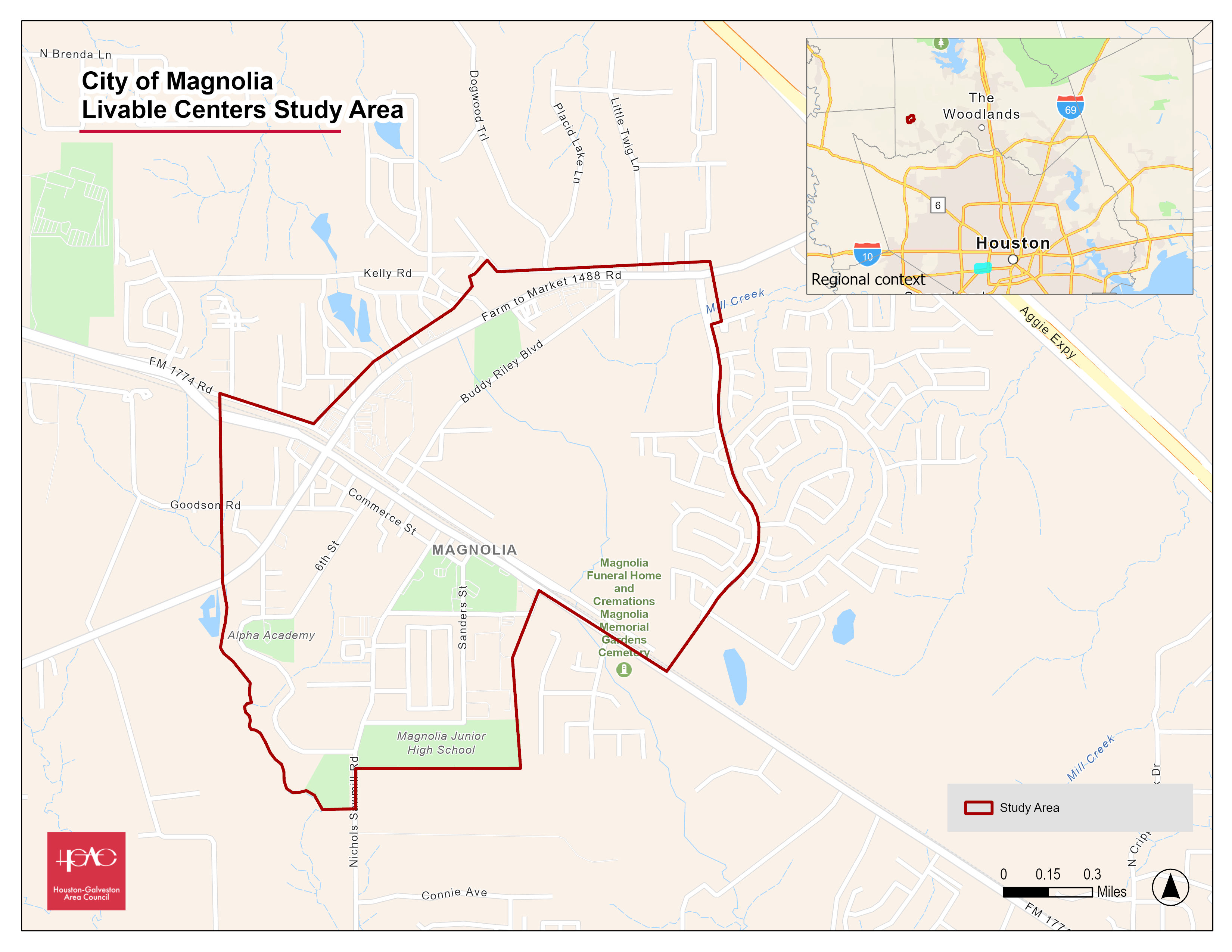
Click for a full size version of this map.
Local Partner
City of Magnolia
Lead Consultant
TBD