
On This Page
Study Summary and Goals
The League City Study provides analysis and recommendations for land use and infrastructure investments that create a more walkable, connected Main Street and Historic Creekside District. Specifically, the study recommends:
- Investing in greenspace to improve quality of life by programming and investing in League Park and incorporating the League City Trail system.
- Revitalizing the Main Street Corridor through streetscape design, iconic community gateways, and a consideration of parking management strategies.
- Rethinking the intersection of Main Street and Park Avenue to create a regional destination for retail and entertainment.
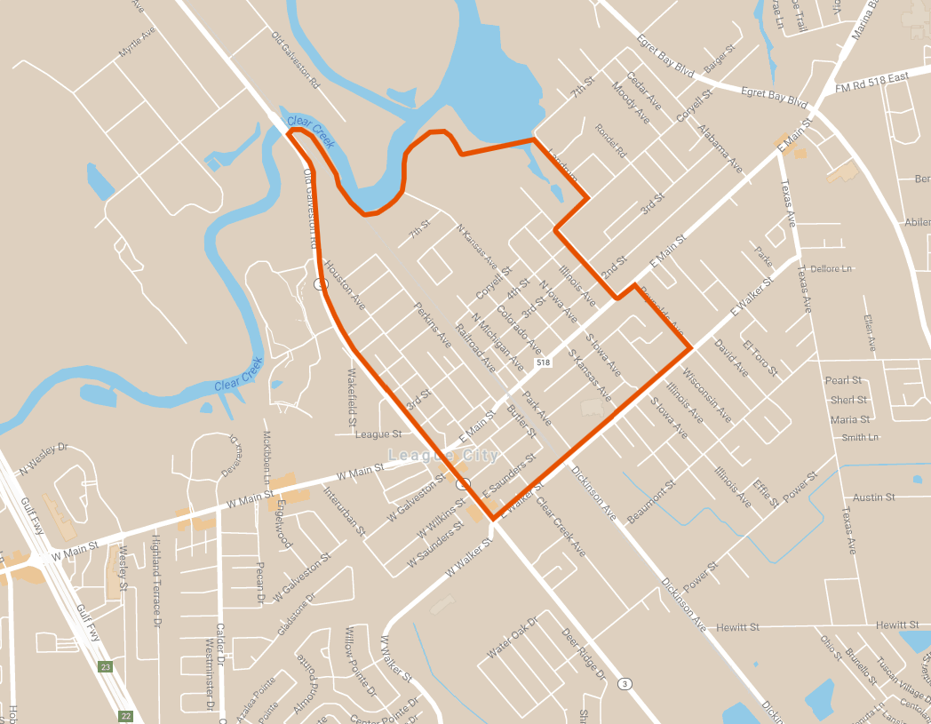
Study Area Map
The study area is generally bounded by Clear Creek to the North, Reynolds Street to the East, Walker Street to the South, and SH3 to the West.
Click for a full size version of this map.
Local Partners
City of League City
Lead Consultant
Gateway Planning